Roadtrip Discovery Through the San Rafael Swell to The Wedge in Utah
Directions to the Wedge
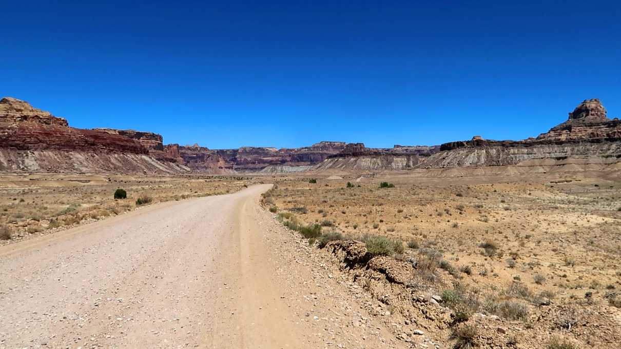
On our journey to the Wedge, we started from Goblin Valley State Park Campground. If this is your starting location, you will start out going north on UT-24 from the campground, take I-70 west until you reach exit 131 - Buckhorn Draw Road or County Route 332. You will stay on this unpaved road for quite a while throughout your trip. The road is well maintained and most passenger vehicles will be able to get through just fine. With the exception of a few portions that have a minor washboard feel, the drive is relatively smooth. Your car will get dirty though!
Once CR-332 ends, take a left on Green River Cutoff (CR-401), another left on Wedge Cutoff (CR-406) shortly after that and a final left onto Wedge Road (CR-405). You will then follow the signs to the Overlook.
If you’re coming from a different direction, Google Maps will be able to get you there.
The San Rafael Swell Area
The San Rafael Swell is a gigantic area of land in south-central Utah, part of the Colorado Plateau, that formed about 60 million years ago when rock was pushed up and sedimentary rock folded to form the dome-like shape the area is known for. Over time, erosion has taken place thanks to water and wind to form the many canyons, mesas, and valleys throughout the area. When you think about Southwest vistas and landscapes, the San Rafael Swell fits the bill. With countless places to explore, hike, camp and bike, it is near impossible to fully explore this area in one lifetime.
Points of Interest Along the Way
The drive along I-70 itself is a treat for the eyes, however, Buckhorn Draw Road is really where some hidden (and not so hidden) gems await travelers. Before departing Interstate 70, however, is one place worth stopping to pull off the road - Black Dragon Canyon. There is an overlook into the wash and canyon beyond. For those more adventurous, there is a road for high-clearance vehicles and a trail for hiking into the canyon. Within the canyon lies a pictograph panel which includes a dragon-like form for which the canyon is named.
From here on the rest of the drive will be on Buckhorn Draw Rd. Heading north, the next area of interest is simply titled The Sinkhole. The sinkhole is fenced off for visitors’ protection, however, one can peer down the vertical shaft. As the sinkhole is the only attraction here, one won’t likely spend much time exploring.
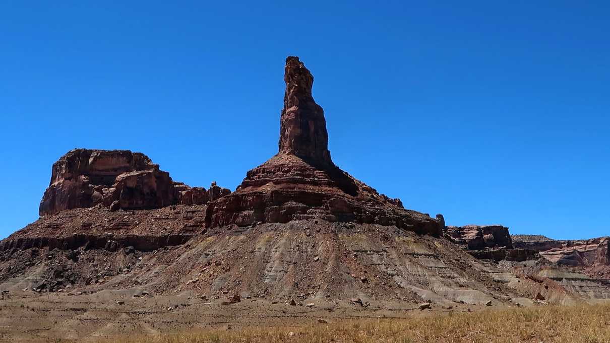
Roughly 12 miles north of the Sinkhole near the San Rafael River is a sign for Sid’s Mountain Wilderness. In this area one can step out and see Bottleneck Peak to the west, a tall thin rock pinnacle which stands out from the rest of the scenery. To the east is Window Blind Peak and Assembly Hall Peak.
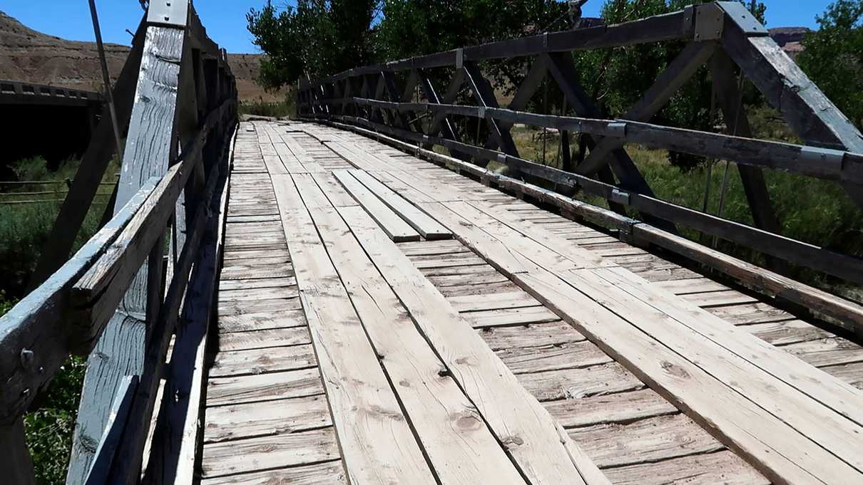
As you get to the San Rafael River, there is the old San Rafael Bridge, or Swinging Bridge, a 160 foot wooden suspension bridge completed in 1937 by the Civilian Conservation Corp. You cannot drive over the bridge but are able to pull over and walk across where ranchers once herded their sheep to pass over the river. Informational signage is available with the bridge’s history. Located nearby are several primitive campgrounds available for camping.
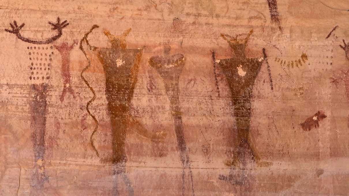
Perhaps the most visited attraction along the way is the Buckhorn Wash Pictograph Panel. Parking is available next to the wall which is painted with numerous human and animal figures. These paintings are beautifully expressive, curious and even slightly eerie. If you make a stop anywhere along this trip make sure that this is the one.
About three miles further is another sign for a rock art panel. A short trail leads to a wall with etched petroglyphs of animals and other figures.
Shortly after the petroglyphs is one last spot of interest - a dinosaur track! A small pull off and trail is to the right side of the road which leads to the track. Stones encircle it to make it easier for spotting.
The Wedge or Utah’s Little Grand Canyon
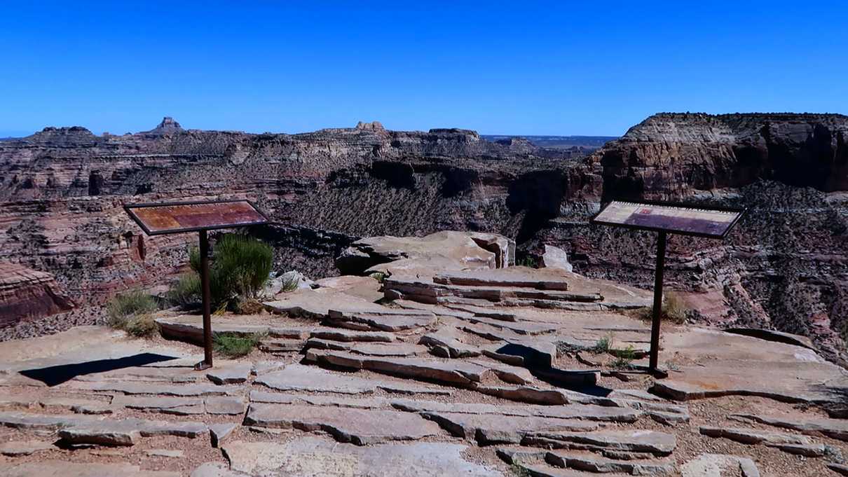
The Wedge Overlook is the star of the show here. Named for a sharp formation of rock that juts out into the canyon, the views here are worth all the driving one has done to get here. Known as the Little Grand Canyon it is easy to understand why after just one look. Striations of varying colored rock cross the canyon walls, a river runs down at the bottom and another canyon joins the main one much like Bright Angel Canyon does with the Grand Canyon in Arizona. The similarities are resounding.
Camping is available though the sites are primitive. There is no running water and one vault toilet. For those not camping, there are picnic tables available near the rim for day use. There are two trails available for those looking to do some hiking.
